Refine your search
5 item(s)
Filtered by:
- Sale Section,
- Category
- List
- Grid
-
5 item(s)/page
A subscription to the Price Guide is required to view results for auctions ten days or older. Click here for more information
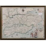

After Christopher Saxton, a reproduction print of a map of Kent, 41 x 56cm, together with another of Suffolke, 32 x 43cm and another of Essex, 36....
Lot 1313
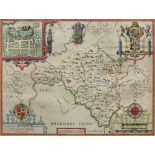
John Speede, The Countie of Radnor described and the Shyretownes Sittuatione (Sic), Anno 1610,
John Speede, The Countie of Radnor described and the Shyretownes Sittuatione (Sic), Anno 1610, an engraved and coloured map, 38 x 51cm.
Lot 1414
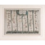
An engraved hand coloured strip map, the construction of the road from London to Lands End pate 2.
An engraved hand coloured strip map, the construction of the road from London to Lands End pate 2.d commencing at Andover, Hants, and extending to...
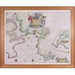
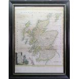
Thomas Kitchin; Scotland Divided into it's counties, engraved hand coloured map, published by Alexander Hogg, 43 x 33cm.
-
5 item(s)/page